bin
Chaliyar River, Western Ghats, Kerala, India
India, Kerala
The Western Ghats region is recognised as one of the world’s major biodiversity hotspots, containing approximately 30% of India’s known flora and fauna species, many of which are endemic to the region. At least 325 globally threatened species occur within the Western Ghats.
The Chaliyar River is the fourth-longest river in Kerala, extending approximately 169 km. It originates in the Western Ghats at the Ilambaleri Hills of the Nilgiri Mountains, near the Wayanad-Malappuram district border. The river flows mainly through Malappuram District before forming the boundary between Malappuram and Kozhikode districts for approximately 17km. It then continues through the city of Kozhikode for its final 10 km before emptying into the Lakshadweep Sea at Beypore.
The Chaliyar River drainage system is formed by six major tributaries: Chaliyarpuzha, Punnapuzha, Kanjirapuzha, Karimpuzha, Iruvahnipuzha, and Thottumukkampuzha.
- Submitted by
- Juhász-Tóth Gábor
- Approved by
- Hans-Georg Evers & Friedrich Bitter
- GPS
- 11.2357349, 76.1530533
- Geographical region
- Southern Asia
- Drainage Basin
- Arabian Sea
- River catchment
- Chaliyar River
- Water body type
- River
- Water body name
- Chaliyar River
- Water body part
- Water body course
- Water body: tributary of
- Tributary name
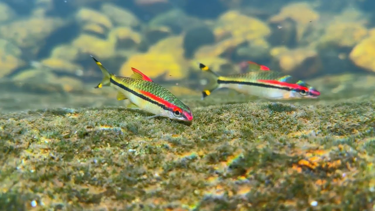
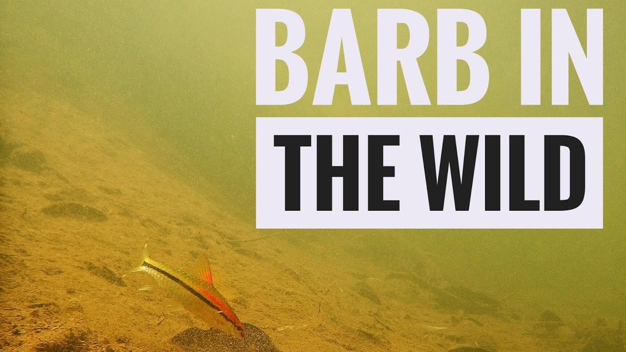
Videos above and below water
Warning: Undefined variable $fish_parent in /home/biotopea/public_html/wp-content/themes/bap/content-bin.php on line 55
Water Chemistry
Water information
- Water type
- Freshwater
- Water color
- Clear water
- Water transparency
- High
- Concentration of sediments
- Low
- Water temperature
- 24 °C
- Water flow/curent
- Strong
Chemical parameters
- pH
- Conductivity
- 198
- GH
- 70 mg/l
- dGH
- KH
- 30 mg/l
- dKH
- Dissolved Oxygen
Substrate in nature
- Sand
- Beige
- Pebble/Gravel
- Mixed
- Stone
- Brown
- Stone form
- Roundish
- Silt/Mud
- Beige
- Leaves
- Few
- Driftwood
- Few
- Submerged terrestrial vegetation
- Yes
Aquatic Biotope
- Date of collecting
- Collecting area
- Water depth
- Air temperature
- Sunlight
Environment
- Environment
- Untouched
- Surrounding area
The Western Ghats form one of the major watersheds of India, feeding numerous perennial river systems that drain almost 40% of the country’s land area.
The Western Ghats play an important role in influencing India’s climate and seasonal patterns. They block the rain-bearing monsoon winds moving eastward from the Arabian Sea, causing heavy rainfall along the western slopes and coastal regions. As the air rises over the mountains and loses moisture, a rain-shadow region with much lower precipitation forms on the leeward side towards the interior Deccan Plateau.
The Western Ghats are recognised as one of the world’s biodiversity hotspots, supporting a remarkable diversity of flora and fauna, with many species endemic to the region. At least 325 globally threatened species occur within this mountain range. The Western Ghats were designated a UNESCO World Heritage Site in 2012.
- Underwater landscape
Moderate or no submerged aquatic plants are present underwater. Fallen leaves and driftwood from riparian trees accumulate along the riverbank. The substrate consists mainly of large stones and gravel.
Fishes:
- Opsarius bakeri (Danionidae) – Baker’s Minnow
- Devario malabaricus (Danionidae) – Malabar Danio
- Neochela dadiburjori (Danionidae) – Dadiburjor’s Danio
- Dawkinsia filamentosa (Cyprinidae) – Filament Barb
- Dawkinsia arulius (Cyprinidae) – Arulius Barb
- Dawkinsia assimilis (Cyprinidae) – Assimilis Barb
- Haludaria fasciata (Cyprinidae) – Melon Barb
- Garra menoni (Cyprinidae) – Menon’s Garra
- Garra mullya (Cyprinidae) – Muddled Garra
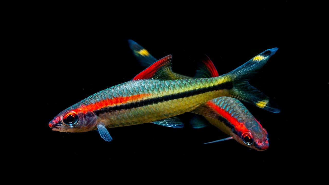
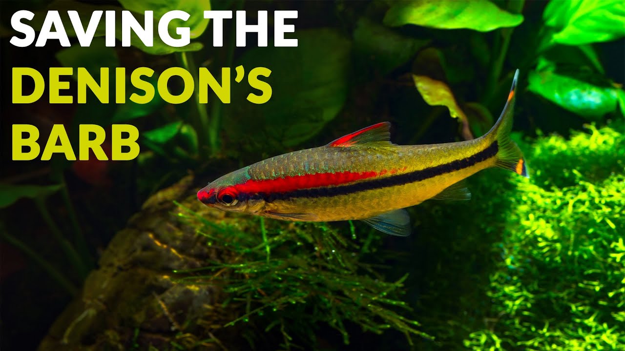
- Sahyadria denisonii (Cyprinidae) – Denison Barb
- Tor malabaricus (Cyprinidae) – Malabar Mahseer
- Etroplus maculatus (Cichlidae) – Orange Chromide
Aquatic vegetation
- Bacopa monnieri (Plantaginaceae) – Brahmi
- Hygrophila pinnatifida (Acanthaceae) – Temple Plant
- Lagenandra meeboldii (Araceae) – Meebold’s Lagenandra
- Threats to ecology
Rapid warming of the Arabian Sea since 1995 has contributed to the development and intensification of strong cyclones affecting the Indian subcontinent, as recent studies have indicated. Climate models show that the Asian monsoon region experiences greater changes in extreme precipitation patterns than other monsoon domains, highlighting its sensitivity to global climate change.
Kerala provides a clear example of these shifts, with some of the most dramatic events being the floods of 2018 and 2019, which resulted from contrasting weather phenomena. A 2022 CUSAT study suggested that the 2019 monsoon cloudburst and associated flooding raised the possibility that rainfall patterns along India’s west coast may be shifting towards more convective events.
The Western Ghats represent a critical freshwater biodiversity hotspot, where more than 40% of freshwater fish species are considered threatened. Major pressures include habitat destruction, overexploitation, pollution, and the introduction of invasive species.
Riparian zone
- Trees near the aquatic habitat
-
Many - Alstonia scholaris
- Trees near the aquatic habitat
-
Many - Tectona grandis
- Trees near the aquatic habitat
-
Many - Dalbergia latifolia
- Trees near the aquatic habitat
-
Many - Terminalia catappa