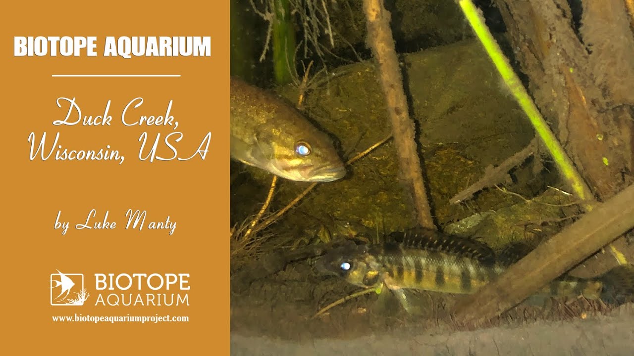
Duck Creek feeds into Green Bay, an arm of Lake Michigan. The creek supports the surrounding wetlands that circle the bottom of the bay. The greenery is most notably made up of cat tails, lily pads, duckweed, as well as various aquatic plants and macroalgaes. Decades ago the river was teeming with healthy game fish due to a rocky river bottom that supplied numerous sources of food.
However in the 2010s, an upstream dam was removed causing a high pressure flow of water. It wasn’t long before the current kicked up a significant amount of substrate producing a primarily muddy bottom. The river has gradually been settling over time, returning to its natural state. The dam removal project was intended to allow a clearer path for migrating fish, and appears to be paying off.
- GPS
- 44.5618782, -88.0623932
- Geographical region
- Northern America
- Drainage Basin
- Green Bay
- River catchment
- Duck Creek
- Water body type
- Creek
- Water body name
- Duck Creek
- Water body part
- Marsh land
- Water body course
- Lower course
- Water body: tributary of
- Tributary name
- Duck Creek
Videos above and below water