bin
Humber river, Kleinburg, Ontario, Canada
Canada, Kleinburg, Ontairo, Canada, Kleinburg, Ontairo, Canada
The Humber River occupies the majority of the west side of the Toronto region, Canada, and flows from northwest to southeast. The geology of the Humber River features a substrate of gravel, sand, and organic debris, typical of the glacial till plain associated with the Oak Ridges Moraine. Riparian vegetation typically includes Salix spp. (willow), Acer saccharinum (silver maple), and various types of grasses and sedges. Fish species include various species of shiners and minnows, as well as larger species like Northern Pike (Esox lucius) and Smallmouth Bass (Micropterus dolomieu).
- Submitted by
- Rui Sun
- Approved by
- Fritz Rohde & Lawrence Kent
- GPS
- 43.7736778, -79.5285797
- Geographical region
- Northern America
- Drainage Basin
- Lake Ontario Basin
- River catchment
- Humber River Watershed
- Water body type
- River
- Water body name
- Humber river
- Water body part
- Rapids
- Water body course
- Middle course
- Water body: tributary of
- River
- Tributary name
- Humber river
Videos above and below water
Warning: Undefined variable $fish_parent in /home/biotopea/public_html/wp-content/themes/bap/content-bin.php on line 55
Water Chemistry
Water information
- Water type
- fresh-water
- Water color
- Clear water
- Water transparency
- Medium
- Concentration of sediments
- Medium
- Water temperature
- 21 °C
- Water flow/curent
- Slow
Chemical parameters
- pH
- 7.9
- Conductivity
- 600
- GH
- 160 mg/l
- dGH
- KH
- 130 mg/l
- dKH
- Dissolved Oxygen
- 90 %
Substrate in nature
- Sand
- Grey
- Pebble/Gravel
- Grey
- Stone
- Grey
- Stone form
- Roundish
- Silt/Mud
- Grey
- Leaves
- Few
- Driftwood
- Many
- Submerged terrestrial vegetation
- Yes
Aquatic Biotope
- Date of collecting
- 23/0/2023
- Collecting area
- River bank
- Water depth
- 0,5m
- Air temperature
- 23 °C
- Sunlight
- Partial shade
Environment
- Environment
- Affected by human activity
- Affected by human activity
- Pollution
- Pollution
- Little
- Surrounding area
The area in the biotope is a middle reach section of humber river, via binderwine park. the area above the water is quite open, with no overhanging trees that shade the water, making the water not that cool compared to headwater section but still not so warm like lower reaches. There are extensive raparian vegetation, dominating by grass species that are very hard to identify without labatory analysis.
- Underwater landscape
The specific water section I focused on is a transitioning zone from the riparian zone, where a large dead tree trunk has created a deposition area with slow water flow, accumulating sediment and other branches. This zone transitions into the mid-flowing run area of the river.
The sediment composition shifts from fine, grey limestone and shale to larger grain-sized gravel, pebbles, and rocks composed of feldspar or quartz, originating from moraine deposits during the last glacial maximum. Water turbidity is relatively high due to a medium load of clay and silt. Mid-column fish juveniles are found in such areas, and benthic species like darter are found in relatively fast-flowing areas.
Fishlist:
- Notropis atherinoides (Cyprinidae)
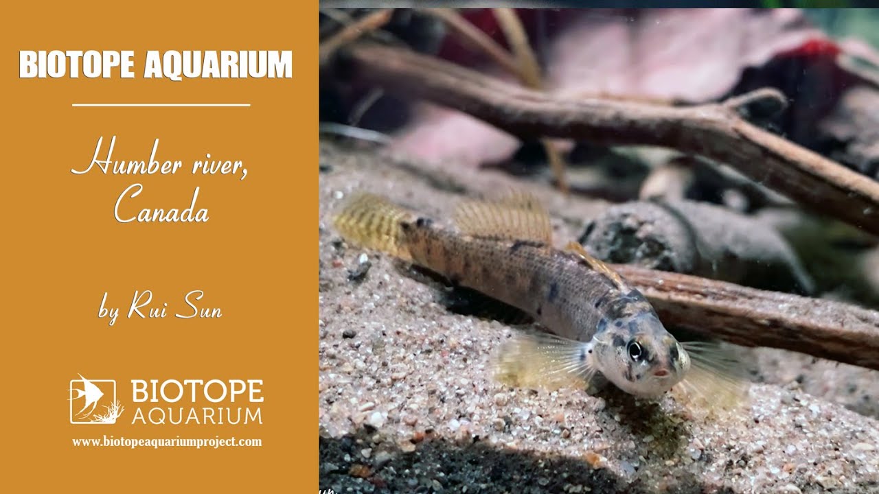
- Etheostoma caeruleum (Percidae)
- Etheostoma flabellare (Percidae)
- Luxilus cornutus (Cyprinidae)
- Hypentelium nigricans (Catostomidae)
- Rhinichthys cataractae (Cyprinidae)
Aquatic plants:
- Threats to ecology
There are several factors affecting the ecology and healthiness of the Humber River. Only 38% of urban areas have good systems to manage stormwater. More work is needed to control urban runoff. Climate change leads to more intense urban flooding, causing more erosion to the river bank, raising the sediment load of the river, and increasing the average water temperature in summer, which makes cooler water species like ridgeside dace suffer.
The increase in sediment load also affects fish breathing and predation. Road salt used in winter raises the salt levels in the river, harming fish and other aquatic life.
Additionally, in-stream barriers like dams and culverts hinder fish migration, further impacting fish populations.
Riparian zone
- Trees near the aquatic habitat
-
Few -