bin

Small Stream in Mandor Town, West Kalimantan, Indonesia

Sponsored by

Indonesia, West Kalimantan, Mandor

The Kapuas River (or Kapoeas River) is a river in the Indonesian part of Borneo island, at the geographic center of Maritime Southeast Asia. At 1.143 km (710mi) in length, it is the longest river in the island of Borneo and the longest river in Indonesia and one of the world’s longest island rivers. It originates in the Müller mountain range at the center of the island and flows west into the South China Sea creating an extended marshy delta. The delta is located west-southwest of Pontianak, the capital of the West Kalimantan province.

This Kapuas River should be distinguished from another Kapuas River, which starts on the other side of the same mountain range in central Borneo but flows to the south, merging with the Barito River and discharging into the Java Sea.

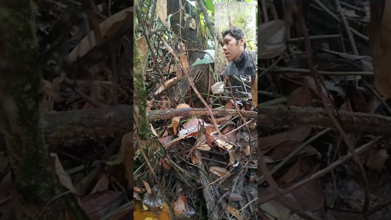
The area whose biotope I sampled is a small stream in the town of Mandor in West Kalimantan. It is a region where species such as Betta mandor and Betta brownorum are endemic.

Submitted by
Arif Hikmet Başeğmez
Approved by
Heiko Blessin, Heok Hee Ng & Greg Martin
GPS
0.3190727, 109.3809967
Geographical region
Southeastern Asia
Drainage Basin
Kapuas River
River catchment
Kapuas River
Water body type
Creek
Water body name
An unnamed stream in the Province of Mandor
Water body part
Flood plain
Water body course
Water body: tributary of
River
Tributary name
Kapuas

Videos above and below water


Warning: Undefined variable $fish_parent in /home/biotopea/public_html/wp-content/themes/bap/content-bin.php on line 55

Warning: Undefined array key "additional_species" in /home/biotopea/public_html/wp-content/themes/bap/functions/bap-fields.php on line 349

Water Chemistry

Water information

Water type
fresh-water
Water color
Black water
Water transparency
High
Concentration of sediments
Medium
Water temperature
27 °C
Water flow/curent
Slow

Chemical parameters

pH
5.5
Conductivity
12
GH
0
dGH
KH
-1 mg/l
dKH
Dissolved Oxygen

Substrate in nature

Sand
White
Pebble/Gravel
None
Stone
None
Stone form
Silt/Mud
Leaves
Many
Driftwood
Many
Submerged terrestrial vegetation
Yes

Aquatic Biotope

Date of collecting
Collecting area
Water depth
Air temperature
Sunlight

Environment

Environment
Affected by human activity
Agriculture
Agriculture
Advanced
Surrounding area

An area full of small flood ponds and small slow-flowing streams located within the Kapaus River basin. Mandor town is in West Kalimantan province. In this area where Betta mandors live, streams suitable for them flow through forest areas.

Underwater landscape

Since there are so many trees around the area, the underwater landscape is full of drying leaves, tree branches and submerged young tree trunks. There is white sand on the ground. The water looks like blackwater because it is stained with tannins.

Fishlist:

  • Betta mandor (Osphronemidae)
  • Betta brownorum (Osphronemidae)

Wetland plants:

  • Cyperus sp. (Cyperaceae)

Aquatic plants:

  • Cryptocoryne sp. (Araceae)
Threats to ecology

The region is heavily affected by agricultural and industrial activities, and the habitats of species such as mandor and brownorum are shrinking day by day. Problems of access to clean water and exposure to chemicals are increasing for living creatures in the region.

Riparian zone

Trees near the aquatic habitat
Many -

Bibliography

Comment by the expert

Heiko Blessin:

Heok Hee Ng: Reasonably accurate descrioption of a heath forest-type habitat. The pH of the water should be a little lower (around 4–5) for such a habitat. There are other fish species found in the habitat (the linked video shows at least some kind of Pangio being caught).

Greg Martin: Well researched.