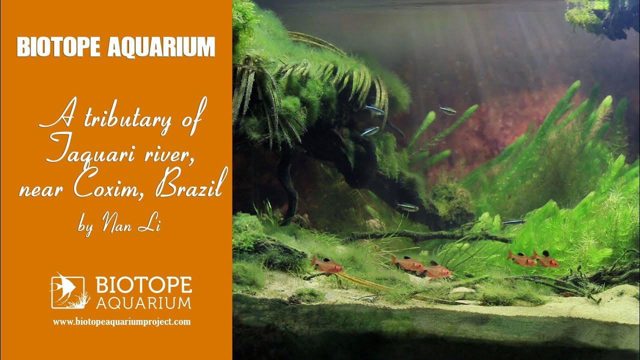
The habitat I described is belongs to a tributary of Taquari river which is near the town of Coxim, in south-central Mato Grosso do Sul, Brazil. The coordinates of Coxim are S 18° 30′ 24″ and W 54° 45′ 36″.
The Pantanal is the largest complex of wetlands in the world, and it is part of the Upper Paraguai River Basin. The Pantanal wetlands comprise nearly 250,000 km2. The Taquari is one of its largest rivers which has a length of about 800 km and about 500 km of it is in the wetlands of the Pantanal. The size of the high Taquari River basin is 29,000 km2, and the area of the river basin in the Pantanal is about 50,000 km2.
The Taquari is unique in the world, because it has the largest alluvial fan in the world, and it is a natural river showing all its characteristics.
- GPS
- -18.4227009, -54.8303299
- Geographical region
- South America
- Drainage Basin
- River catchment
- Rio Taquari
- Water body type
- Stream
- Water body name
- Córrego do Veado
- Water body part
- Water body course
- Water body: tributary of
- River
- Tributary name
- Rio Taquari
Videos above and below water