Brazil, Amazonas, Sao Gabriel
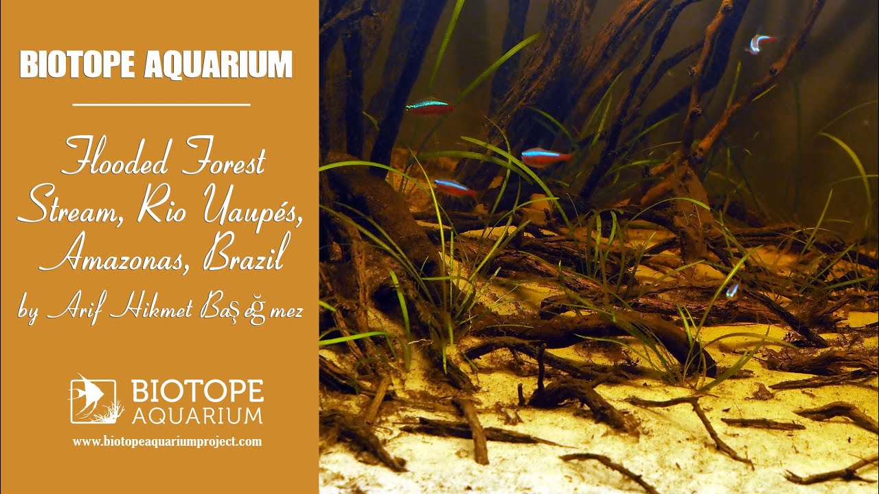
Simulation of a flooded forest stream. I tried to create a forest floor, where the small flooded trunks and roots were released into the ground. It is a forest stream biotope that connects to the Uaupés river.
- GPS
- 0.1244796, -69.0706253
- Geographical region
- South America
- Drainage Basin
- Lower Rio Negro
- River catchment
- Rio Uaupés
- Water body type
- Igarapè
- Water body name
- Pirá
- Water body part
- Flood plain
- Water body course
- Middle course
- Water body: tributary of
- Rio
- Tributary name
- Uaupés
Videos above and below water