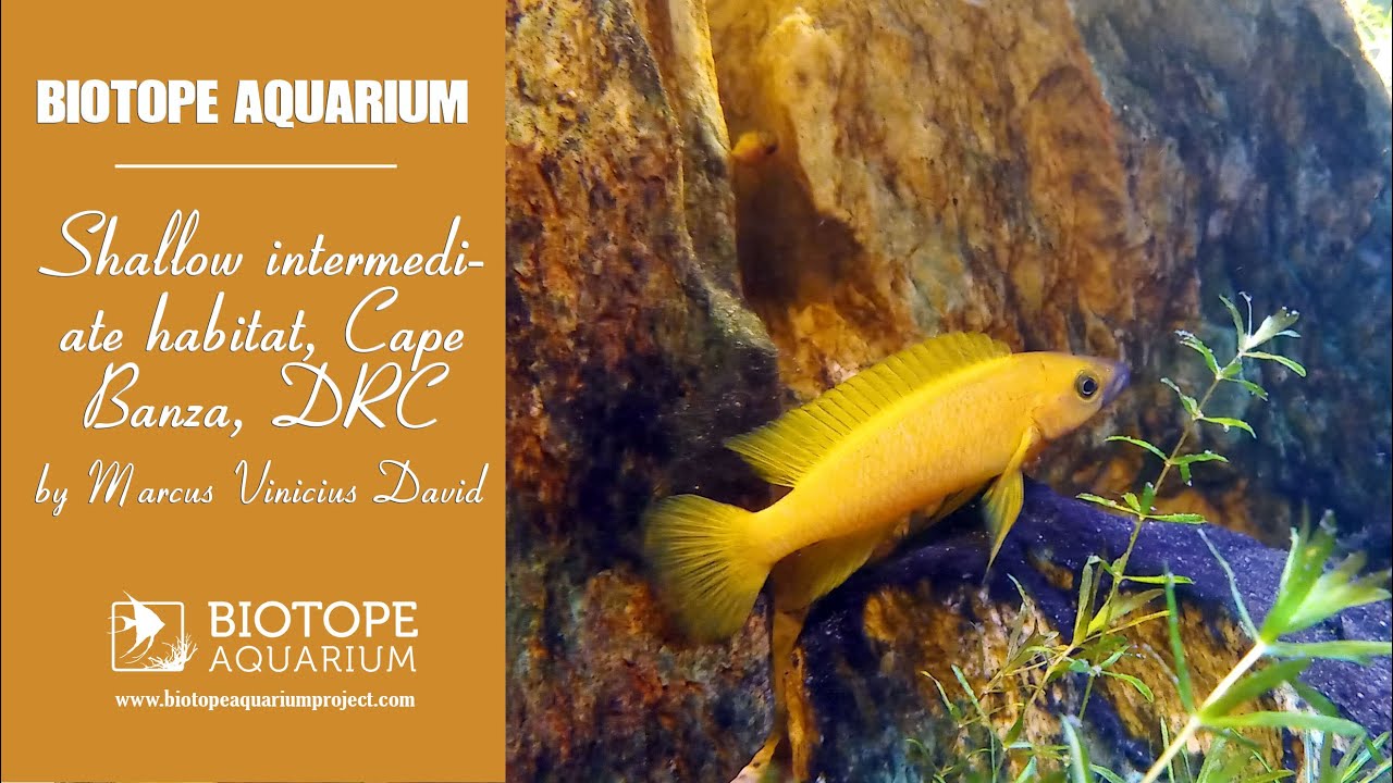
Located on the Ubwari Peninsula in the Democratic Republic of Congo, Cape Banza (4°04’88.9″S 29°24’23.9″E) is one of the regions with the lowest anthropogenic impact on the entire coast of Lake Tanganyika. With very low population density (0.5 people/km2; DRC 1988), there are no roads. Watersheds are small, limiting sediment discharge.
Since the discovery of sub-lacustrine hydrothermal fields at Cape Banza, along the western arm of the East African Rift, in the late 1980s, the region has suffered from the ecological threat of hydrocarbon exploration. Currently, the Ubwari Peninsula region is involved in armed clashes. Photographic records and videos are extremely rare.
Cabo Banza is characterized by a rocky coastline, typically made of sandstone, which extends downhill to an average depth of 4 meters and the intercalated bottom of rocks and sand in the shallow regions. By choosing this region, I hope I can help with awareness and preservation.
- GPS
- -4.0498838, 29.2423897
- Geographical region
- Central Africa
- Drainage Basin
- Northern basin of the Lake Tanganyika
- River catchment
- Water body type
- Lake
- Water body name
- Lake Tanganyika
- Water body part
- Open water
- Water body course
- Water body: tributary of
- Tributary name
Videos above and below water