The Taquari is unique in the world, because it has the largest alluvial fan in the world, and it is a natural river showing all its characteristics.
- GPS
- -18.4822445, -54.7792587
- Geographical region
- South America
- Drainage Basin
- Paraguay river
- River catchment
- Taquari river
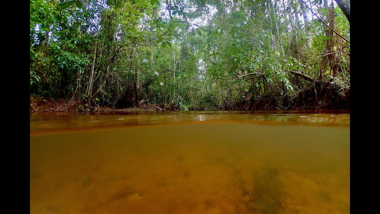
- Water body type
- Creek
- Water body name
- Rio Verde de Mato Grosso
- Water body part
- Rapids
- Water body course
- Headwaters
- Water body: tributary of
- Rio
- Tributary name
- Taquari
Videos above and below water