bin
Nethravathi River, Mangalore, Karnataka, India
India, Karnataka, Dakshina Kannada
The Nethravathi River is one of Karnataka’s most vital rivers. Originating from the Western Ghats at Bangalakode near Kudremukh in Chikkamagaluru district, the Nethravathi flows westward through the scenic landscapes of Karnataka before joining the Arabian Sea at Mangalore.
More than just a water body, the Nethravathi is the lifeline of the coastal region, providing drinking water, supporting agriculture, and sustaining rich biodiversity. Culturally, environmentally, and economically – the Nethravathi is not just a river, but a symbol of life and heritage for millions.
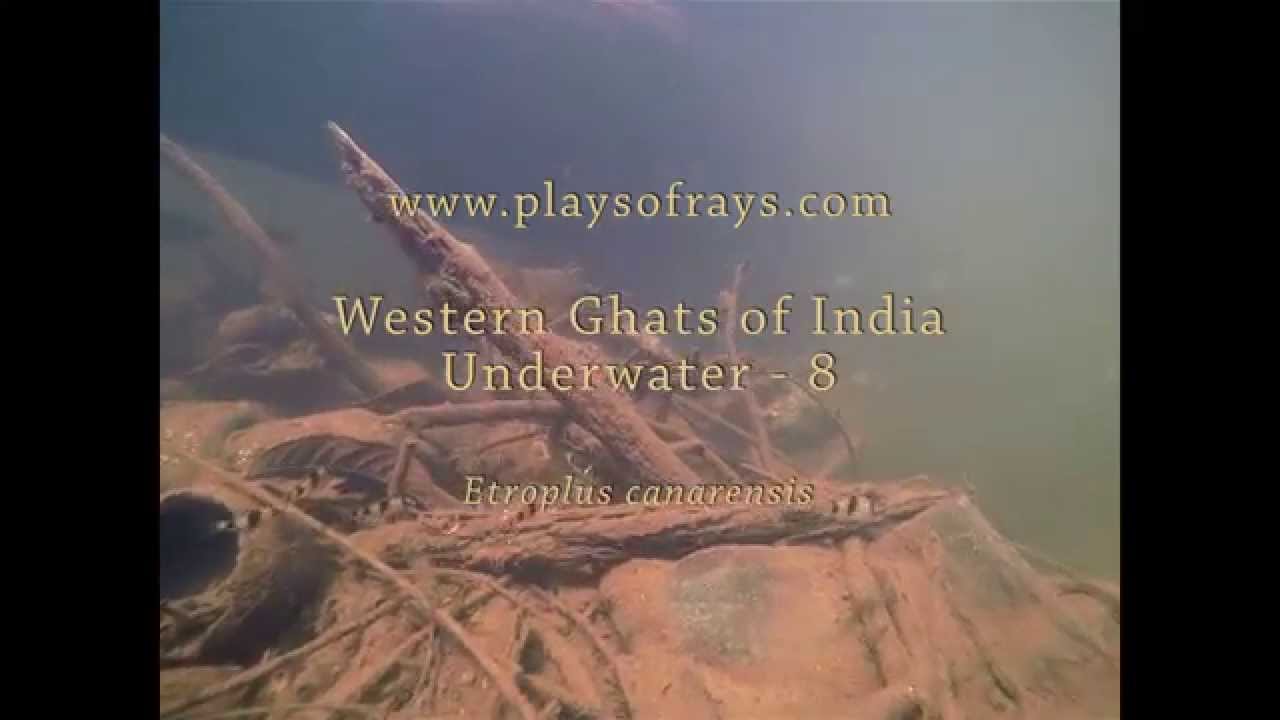
The aquarium displayed here represents the species and underwater landscapes found in the Nethravathi River. Etroplus canarensis, also known as the Canara Pearlspot or Roman numeral cichlid, gets its name from the unique numeral-like patterns on its body. Melon Barbs, an elegant and bright reddish-orange freshwater species, add a vibrant touch to the ecosystem.
- Submitted by
- Dhiraj Shetty
- Approved by
- Hans-Georg Evers & Friedrich Bitter
- GPS
- 12.8553448, 74.9106445
- Geographical region
- Southern Asia
- Drainage Basin
- Arab Sea
- River catchment
- Nethravathi River
- Water body type
- River
- Water body name
- Nethravathi river
- Water body part
- Open water
- Water body course
- Lower course
- Water body: tributary of
- River
- Tributary name
- Nethravathi
Videos above and below water
Warning: Undefined variable $fish_parent in /home/biotopea/public_html/wp-content/themes/bap/content-bin.php on line 55
Water Chemistry
Water information
- Water type
- fresh-water
- Water color
- Mixed water
- Water transparency
- Medium
- Concentration of sediments
- Medium
- Water temperature
- 20-30 °C
- Water flow/curent
- Strong
Chemical parameters
- pH
- 7.5
- Conductivity
- GH
- dGH
- KH
- dKH
- Dissolved Oxygen
Substrate in nature
- Sand
- Beige
- Pebble/Gravel
- Mixed
- Stone
- Mixed
- Stone form
- Irregular
- Silt/Mud
- None
- Leaves
- Few
- Driftwood
- Few
- Submerged terrestrial vegetation
- None
Aquatic Biotope
- Date of collecting
- 25/01/2025
- Collecting area
- River bank
- Water depth
- 1,0m
- Air temperature
- Sunlight
- Filtered/dappled sun
Environment
- Environment
- Affected by human activity
- Affected by human activity
- Pollution
- Pollution
- Moderate
- Surrounding area
The Nethravathi River basin is surrounded by rich and diverse landscapes, especially as it flows through the Western Ghats, a UNESCO World Heritage Site known for its high biodiversity. The upper catchment areas near Kudremukh, Charmadi Ghat, and Sakleshpur are covered with dense evergreen and semi-evergreen forests. These forests are home to a wide variety of plant species, including teak, rosewood, jackfruit, wild mango, and bamboo.
As the river descends towards the coastal plains near Bantwal and Mangalore, the vegetation shifts to moist deciduous forests, agricultural fields, and plantations. You’ll find areca nut, coconut, paddy fields, banana plantations, and spices like black pepper and cardamom growing abundantly in these fertile areas.
These lush surroundings not only support agriculture but also provide habitat for many wildlife species, making the Nethravathi River basin a vital ecological zone that balances nature and human life.
- Underwater landscape
- Rocky & shallow riverbed: The river flows over hornblende and mica-rich boulders and pegmatite fragments—many covered in sediment and algae
- Driftwood & root structures: Submerged tree parts and roots accumulate along currents, creating habitats for aquatic organisms.
- Estuarine vegetation zone: Near the estuary, Cyperus malaccensis sedge forms thick groves that are crucial for local ecology—offering shelter and organic matter to estuarine species like the giant snail Telescopium telescopium.
- Ecological importance: These underwater habitats support rich biodiversity—fish, snails, algae, and microorganisms. The root mats and rocks provide feeding grounds and hiding spots, sustaining local fisheries and aquatic food chains.
Fish list:
- Etroplus canarensis (Cihlidae)
- Haludaria fasciata (Cyprinidae)
- Threats to ecology
- Illegal dumping & construction debris: “Huge stormwater drains and gutters … are being filled with soil debris. Raising concern about environmental impacts and CRZ violations” linked to the Mangaluru Smart City waterfront project. Local residents report active dumping of collected waste directly into the riverbed – prompting public outcry and calls for enforcement.
- Domestic sewage & sanitation leakage: Sewage from septic tanks and public toilet complexes in Uppinangady has been contaminating the river, causing foul odors and health hazards.
- Solid waste & microplastic pollution: A massive cleanup in 2021 removed 14 tons of litter near the Nethravathi Bridge – but this accounted for just ~10% of the dumped waste. A 2020 study detected 288 microplastic pieces/m³ in water, and 96 pieces/kg in sediments—stemming mainly from plastic bags, packaging, and washing fibers.
- Unplanned sand mining & river bed degradation: Seasonal drying of sections of the river has enabled rampant, often illegal, sand mining in places like Uppinangadi and along tributaries such as Kumaradhara—wide-scale extraction that destabilizes river channels and harms aquatic life.
- Water diversion and drying of tributaries: Inter-basin diversion projects like Yettinahole have significantly reduced flows in smaller feeder streams and tributaries—transforming perennial watercourses into dry riverbeds and threatening biodiversity.
Riparian zone
- Trees near the aquatic habitat
-
Many -