bin

River Výrovka near the village of Písty

Sponsored by

Czech Republic, Central Bohemian Region, Písty

Výrovka (on the upper stream also Vavřinec or Vavřinecký stream, on the middle stream also Kouřimka and lower Plaňanka, only at the mouth of Výrovka) is a river in the Central Bohemian Region in the Czech Republic. It is 61.89 km long.

Source Kochanov

  • 49 ° 50′47.14 ″ N , 15 ° 3′24.72 ″ E
  • 492.5 m above sea level

Mouth

  • to Elbe with piston at Nymburka
  • 50 ° 10’4,8 “s. br. , 14 ° 58’58,9” E
  • 181 m above sea level

It springs in Kochánov at an altitude of 492.5 m . It flows mainly to the north. It flows through Uhlířské Janovice, the village of Vavřinec, where it feeds the pond of the same name. It also flows through Kouřimí, Plaňany, Radimí, Dobřichov and Písty, at which it empties from the left into the Elbe at an altitude of 181 m above sea level.

Submitted by
Michal Klacek
Approved by
Alexey Malyshev & Philippe Chevoleau
GPS
50.1603622, 15.0106030
Geographical region
Eastern Europe
Drainage Basin
River Labe
River catchment
River Labe
Water body type
River
Water body name
Výrovka
Water body part
Channel
Water body course
Lower course
Water body: tributary of
River
Tributary name

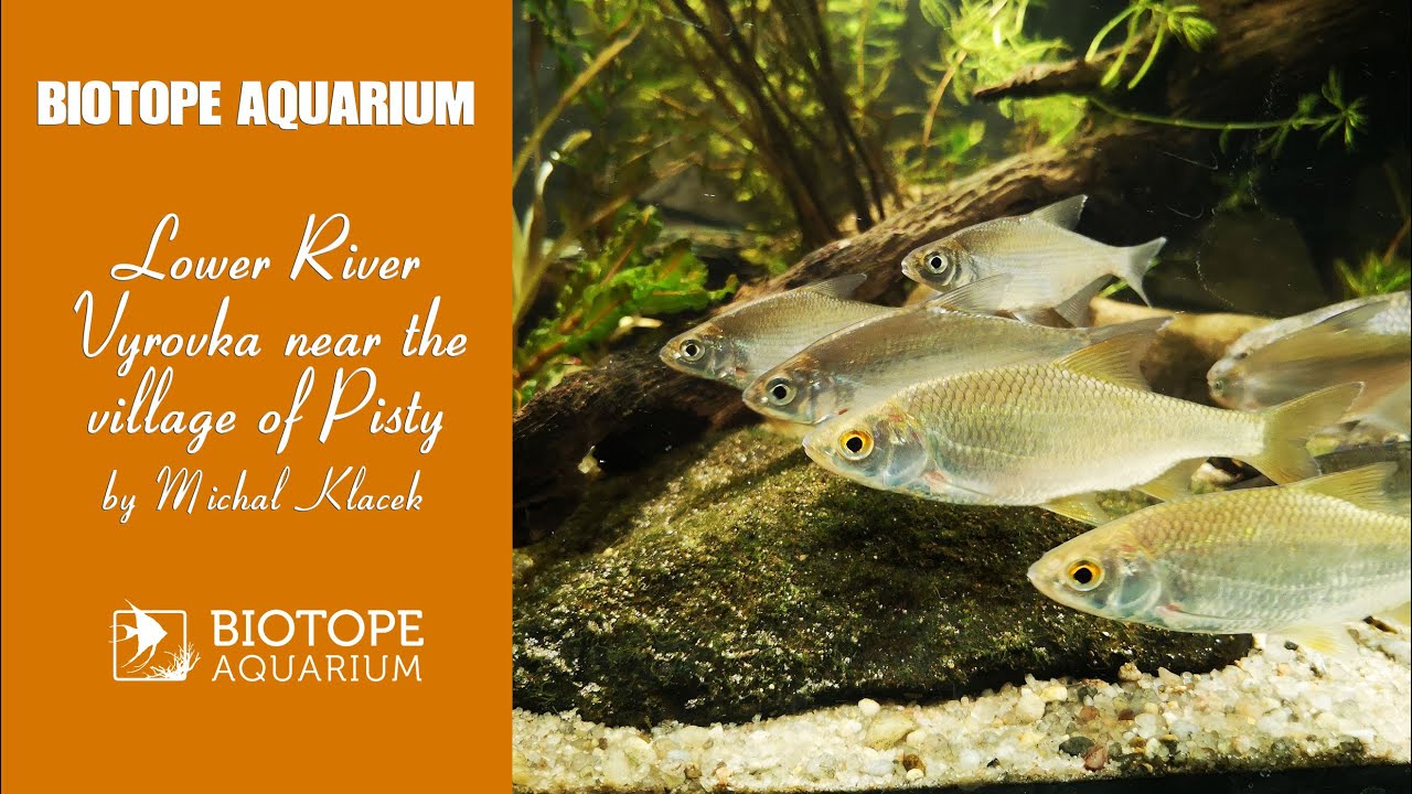
Videos above and below water

Water Chemistry

Water information

Water type
Fresh water
Water color
Clear water
Water transparency
Medium
Concentration of sediments
Medium
Water temperature
23 °C
Water flow/curent
Slow

Chemical parameters

pH
8
Conductivity
911
GH
KH
Dissolved Oxygen

Substrate in nature

Sand
Beige
Pebble/Gravel
Mixed
Stone
None
Stone form
Silt/Mud
Leaves
Few
Driftwood
Few
Submerged terrestrial vegetation
Yes

Aquatic Biotope

Date of collecting
20.08.2020
Collecting area
Middle waters
Water depth
1,0m
Air temperature
28 °C
Sunlight
Full sun

Environment

Environment
Affected by human activity
Agriculture
Agriculture
Massive
Surrounding area

The river flows through a flat landscape. The banks are lined mainly with grasses and mud plants. In some sections there are a lot of trees and shrubs around.

Underwater landscape

The river alternates deeper places full of vegetation with a larger layer of sediment with shallow parts without vegetation where there is only sand and a large number of flat stones. Driftwood and leaves are just places.

Crustaceans:

  • Gammarus fossarum

Fishes:

Aquatic vegetation:

Threats to ecology

In some places, wastewater from wastewater treatment plants is drained into this river, which in my opinion is also the cause of the drastic decline, especially the Gobio gobio.


Riparian zone

Trees near the aquatic habitat
Few -

Comment by the expert

Alexey Malyshev: The species composition of fish is well studied. From the description it is clear what a natural biotope looks like. Advice – take more pictures of fish. Especially at night.

Philippe Chevoleau: You did some good research regarding the location, and it’s nice to see the original biotope on your video and photographs. But I regret there’s little information about the inhabitants (fishes) of this local biotope. That being said, it’s really cool to discover a biotope from the Czech Republic. So, thanks a lot for that.