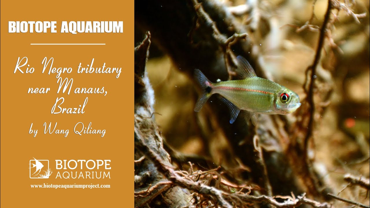
My simulated environment is the Negro River near Manaus. Manaus is located in the northwest of Brazil, on the left bank of the Negro River.
In the dry season the water level of this small tributary is very low. Under the scouring of the river, a large number of roots are exposed, and there are many dead leaves in the bottom. A large amount of humus colours the water yellow.
It’s a paradise for small fish, rich in food resources, and there are many shelters underwater, giving birth to many lives. There are abundant terrestrial plants here, with short trees, slender trunks and tree growth layers. Light-colored dry and hot deciduous bushes account for the largest proportion among these plants. Because of the acid water quality, there are basically no plants underwater.
- GPS
- -3.1220734, -60.0293579
- Geographical region
- South America
- Drainage Basin
- Rio Amazonas
- River catchment
- Rio Negro
- Water body type
- Wetland
- Water body name
- Rio Negro
- Water body part
- River mouth
- Water body course
- Lower course
- Water body: tributary of
- Rio
- Tributary name
- Negro
Videos above and below water