bin

Nkondwe Island Intermediate Zone, Tanzania

Sponsored by

Tanzania, Tanzânia, Rukwa Region

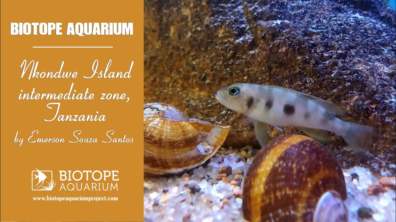
At 767 meters above sea level and approximately a little more than 7 km in a straight line, Nwkondwe Island (7°22’46.7″S 30°32’45.8″E) forms the Kipili Archipelago in Tanzania. The region contains several islands and islets of varying extents resulting in many tourist attractions such as diving, snorkeling, kayaking, sunset views and seasonal fishing.

The more than 2,000 km of coastline, which includes Lake Tanganyika, when divided into biotopes, has the following distribution: 43% rocks, 31% sand, 21% intermediate (rocks and sand) and 5% marsh.

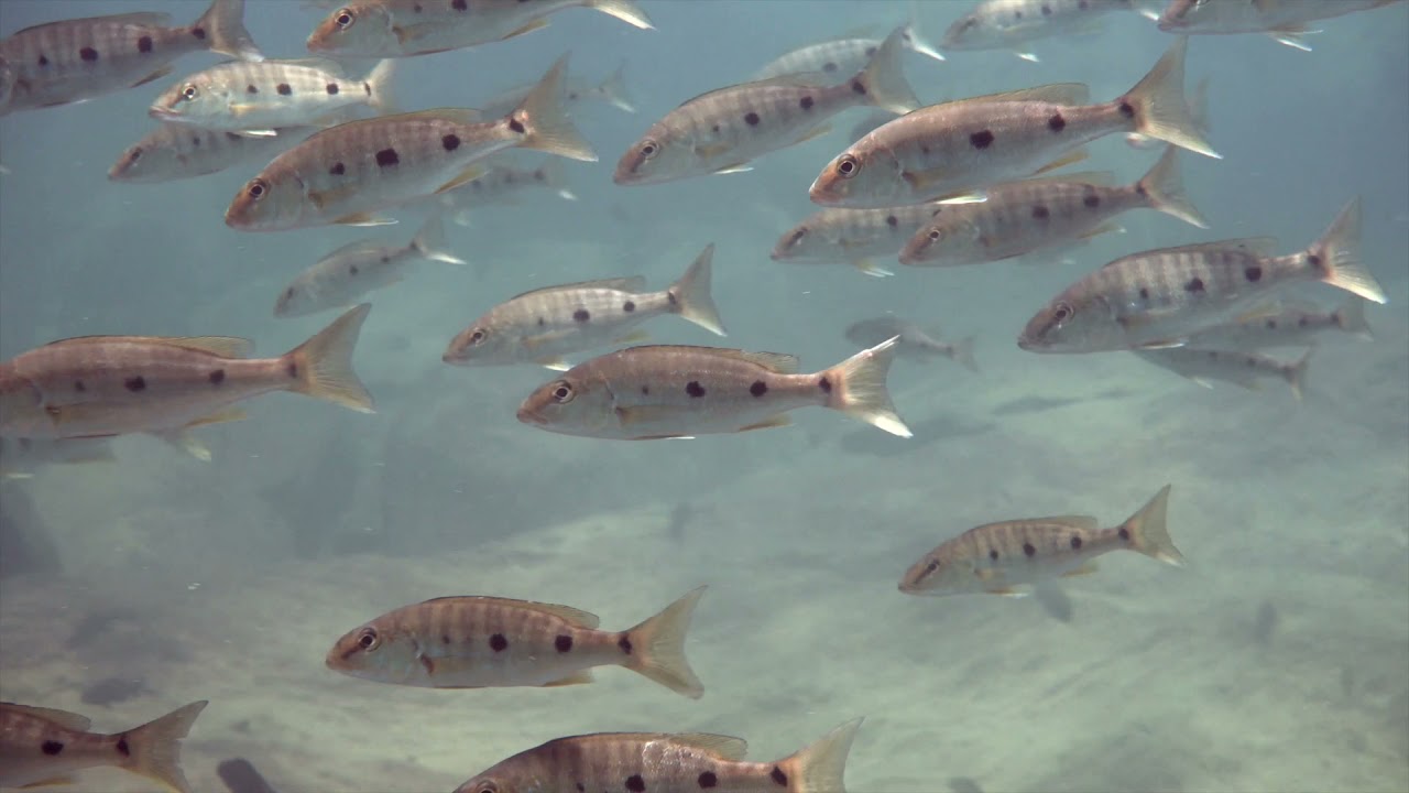
The rocky biotope is by far the most representative of the lake and in it we find the greatest diversity of life and its respective ecological niches. I hope to contribute even more to the preservation and awareness of this environment.

Let’s go from intermediate environment in this proposal.

Submitted by
Emerson Souza Santos
Approved by
Ad Konings & Stefano Valdesalici
GPS
-7.3796301, 30.5460625
Geographical region
Eastern Africa
Drainage Basin
Southeast Basin of Lake Tanganyika
River catchment
Nkondwe Island
Water body type
Lake
Water body name
Tanganyika
Water body part
Open water
Water body course
Middle course
Water body: tributary of
Lake
Tributary name
Tanganyika

Videos above and below water

Water Chemistry

Water information

Water type
Fresh water
Water color
Clear water
Water transparency
Medium
Concentration of sediments
Low
Water temperature
23-27 °C
Water flow/curent
Strong

Chemical parameters

pH
9.1
Conductivity
424
GH
224 mg/l
KH
330 mg/l
Dissolved Oxygen

Substrate in nature

Sand
Beige
Pebble/Gravel
Mixed
Stone
Mixed
Stone form
Irregular
Silt/Mud
Grey
Leaves
Few
Driftwood
Few
Submerged terrestrial vegetation
Yes

Aquatic Biotope

Date of collecting
Collecting area
Water depth
Air temperature
Sunlight

Environment

Environment
Untouched
Surrounding area

Considered a region of the archipelago given the number of islands and islets in its vicinity, it is one of the furthest parts of the coast lying north of Kipili, Rukwa region, southeast of Lake Tanganyika.

Some of the local activities are occasional visits for regional fishing purposes and the appreciation of nature by tourists, through diving or snorkeling.

Underwater landscape

A rocky coastal crescent, with some swamp plant roots close to the surface. As the depth increases, it tends to find a few handfuls of sand, little sediment and empty shells, leaves and even submerged trunks.

Threats to ecology

The main threat is certainly excessive tourist visits and illegal or uncontrolled fishing. Otherwise, the environment is well preserved.

Riparian zone

Trees near the aquatic habitat
Few - Unidentified terrestrial plants.