bin

Chorhun river (Chorna), Crimea

Sponsored by

Crimea, Autonomous Republic of, Crimean Peninsula, Sevastopol

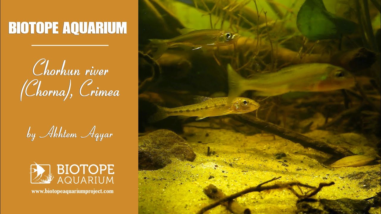
Chorhun is a river in the southwest of the Crimean Peninsula, originates in the Baydar Valley and flows into the Sevastopol Bay in the city of Sevastopol. The length of the river is 35km, in the Baydar valley on the river there is the Chorhun reservoir, then it flows through the Chornorichensky canyon and flows into the Black Sea in the Inkerman district of Sevastopol.

It is the second full-water river of the peninsula. The nature of the river changes from a rapid mountain stream in the upper part and in the canyon to a wide, slow, full-water river in the Inkerman before the estuary. It is high-water in the winter-spring period, low-water in the summer-autumn period.

Submitted by
Akhtem Aqyar
Approved by
Gireg Allain & Aleksey Malyshev
GPS
44.5421104, 33.6638718
Geographical region
Eastern Europe
Drainage Basin
Black Sea
River catchment
Chorhun river
Water body type
River
Water body name
Chorhun river
Water body part
Rapids
Water body course
Middle course
Water body: tributary of
River
Tributary name
Chorhun river

Videos above and below water

Water Chemistry

Water information

Water type
Fresh water
Water color
Clear water
Water transparency
Medium
Concentration of sediments
Medium
Water temperature
12 °C
Water flow/curent
Strong

Chemical parameters

pH
7.8
Conductivity
GH
11 mg/l
KH
8 mg/l
Dissolved Oxygen

Substrate in nature

Sand
Grey
Pebble/Gravel
Grey
Stone
Grey
Stone form
Irregular
Silt/Mud
Brown
Leaves
Few
Driftwood
Many
Submerged terrestrial vegetation
No

Aquatic Biotope

Date of collecting
July, 2022
Collecting area
River bank
Water depth
0,5m
Air temperature
30 °C
Sunlight
Full sun

Environment

Environment
Affected by human activity
Pollution
Pollution
Advanced
Surrounding area

The area around the river is covered with different trees and bushes, there are popular hiking routes for tourist on its banks.

Underwater landscape

Underwater landscape is typical for mountain rivers: bottom is covered with sand and silt, many different sized pebbles and stones, driftwood, leaf litter and sediments are carried with strong water flow and are always changing the underwater landscapes.

Fishes:

  • Planorbarius corneus (Planorbidae)
  • Unio pictorum (Unionidae)
  • Carassius gibelio (Cyprinidae)
  • Perca fluviatilis (Percidae)
  • Gymnocephalus cernuus (Percidae)
  • Rutilus rutilus (Cyprinidae)
  • Gobio gobio (Cyprinidae)
  • Rhodeus amarus (Cyprinidae)
  • Leucaspius delineates (Cyprinidae)

Aquatic plants:

  • Ceratophyllum demersum (Ceratophyllaceae)
  • Potamogeton natans (Potamogetonaceae)
  • Stuckenia pectinata (Potamogetonaceae)
  • Myriophyllum spicatum (Haloragaceae)
  • Elodea canadensis (Hydrocharitaceae)
  • Nuphar lutea (Nymphaeaceae)
  • Najas marina (Hydrocharitaceae)

Wetland plant

  • Hydrocharis morsus-ranae (Hydrocharitaceae)
  • Persicaria maculosa (Polygonaceae)
Threats to ecology

The river Chorhun is on the verge of ecological disaster. In recent years, the river has become extremely low water in the summer, and in 2021 it even dried up in some places. The area is heavily polluted with garbage.

Riparian zone

Trees near the aquatic habitat
Many -

Comment by the expert

Gireg Allain: There is some interesting information on flora and fauna, but unfortunately there is a lack of information on certain parts, such as ecological threats due to the human species. We would have liked more images of the environment, in particular underwater images to be able to estimate the accuracy of the aquarium.

Aleksey Malyshev: There is practically no description of the environment. What animals live along the river, what plants – it is unclear.