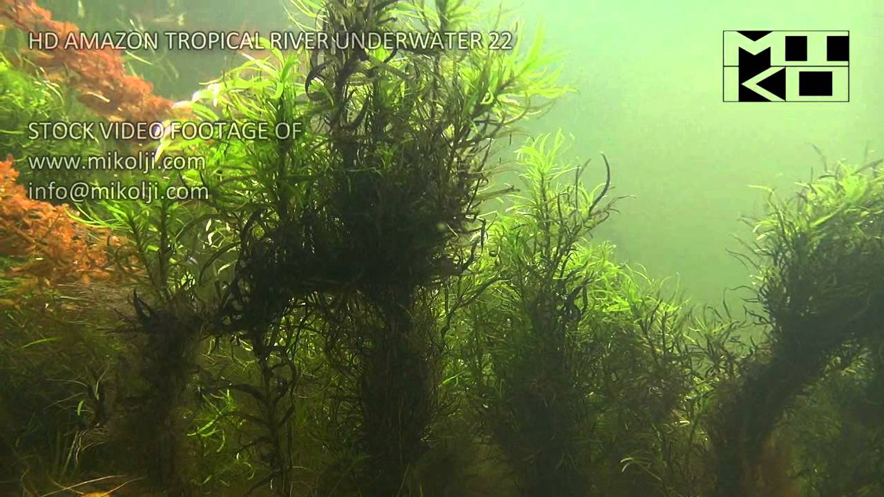
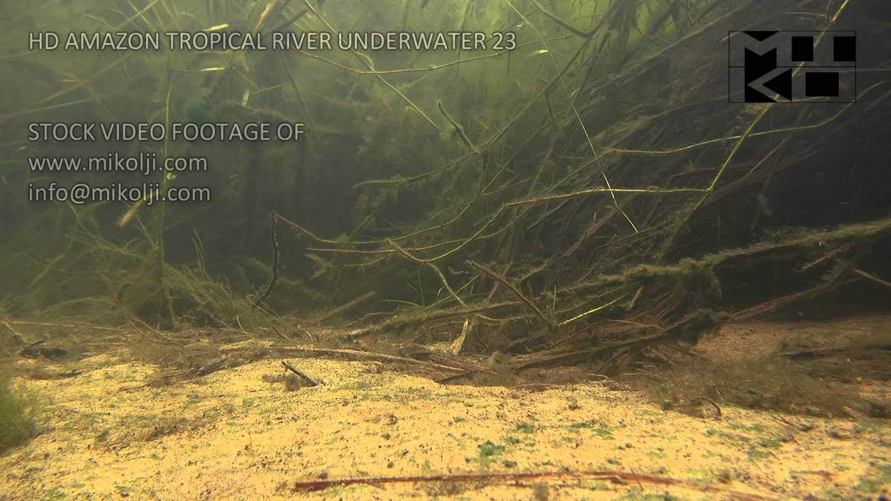
Flooded savannas may present a relative high water current, where dense vegetation grasslands sways rooted in the sandy soil, which is partially covered with organic matter (see Amazon Tropical River Underwater Stock Video Footage 23 and Amazon Tropical River Underwater Stock Video Footage 22 youtube videos).
In Flooded savannas some debris typical of Morichales habitat and surrounding riparian forest are hold back by plants. Water is clear, and less acidic, due to the high rainwater seasonal precipitation. Although the low nutrient content of water, its moderate water replacement allow even to high demanding plants to grow (such as Eichhornia azurea, Eichhornia diversifolia and Ludwigia inclinata).
Rams are normally found in deep water not more than 60cm, normally about 30cm, in areas with no shade. The habitat present both free swimming and fully covered areas by vegetation that shield from the current and provide shelter. Organisms on organic sediments constitute main part of their diet.
- GPS
- 7.0226111, -67.5814133
- Geographical region
- South America
- Drainage Basin
- Capanaparo drainage
- River catchment
- Orinoco river
- Water body type
- Wetland
- Water body name
- Flooded Savanna of western llanos
- Water body part
- Flood plain
- Water body course
- Middle course
- Water body: tributary of
- Rio
- Tributary name
- Rio Capanaparo
Videos above and below water