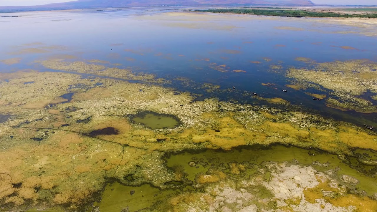
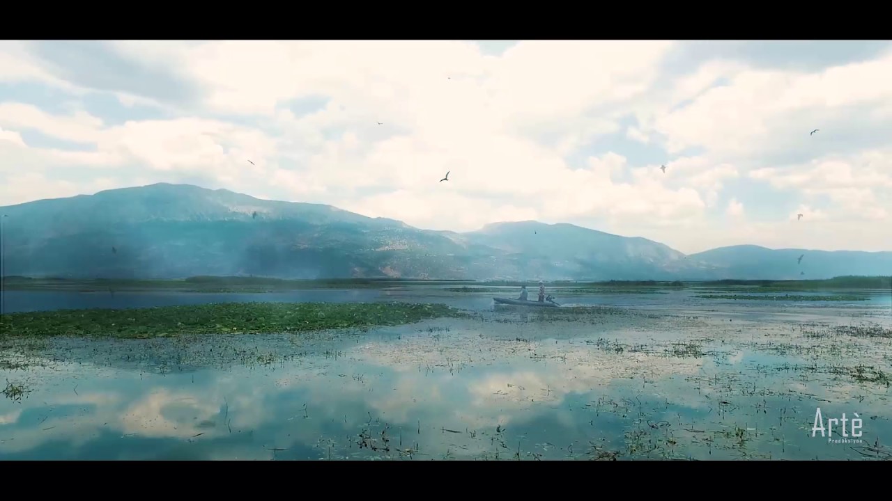
Işıklı Lake is a lake of tectonic origin located in the upper basin of the Büyük Menderes River. Işıklı Lake is an important wetland that feeds the Büyük Menderes River together with Gökgöl, which is its connection. The average altitude of Işık Lake is 818 meters.
The surface area of the lake, whose deepest place is 7 meters, is 73 km². However, depending on the rain and temperature conditions, changes occur in the lake nutrition in Işıklı Lake, which causes differences in the lake level from year to year. Işıklı Akgöz resources contribute 23% to the nutrition of Işıklı Lake.
According to the AMSAR Agreement, there are 123 bird species belonging to 34 families in Işıklı Lake and Gökgöl, which are in the A group wetland category, and in Akdağ Nature Park located in the eastern part of this area. Of these, 107 species are covered by Bern contracts, 3 species are covered by IUCN and 58 species are covered by the Red Data Book (RDB). Işıklı Lake has intensive vegetation.
- GPS
- 38.2329788, 29.8890533
- Geographical region
- Western Asia
- Drainage Basin
- Lake Işıklı
- River catchment
- Water body type
- Tectonic Lake
- Water body name
- Lake Işıklı
- Water body part
- Marsh land
- Water body course
- Source
- Water body: tributary of
- Tectonic Lake
- Tributary name
Videos above and below water