Lake Tanganyika is a large lake in Africa. It is estimated to be the second largest by volume, and the second deepest lake in the world. It covers 32,900 km², with a shoreline of 1,828 km, a mean depth of 570 m and a maximum depth of 1,470 m, it holds an estimated 18,900 km³ water.
The lake is covered with steep walls of mountains. Major inflows are Ruzizi, Malagarasi and Kalambo Rivers. One major outflow is Lukuga River. The basin contains several forest reserves and national parks. Underwater habitats in the lake differ from each other in terms of species consisted and their food chain.
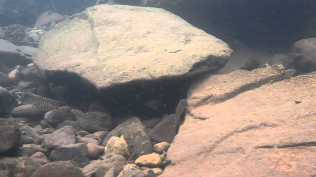
All different features of lake under water habitats is attributed to them by their different depth and bottom structure and so species in different habitats evolved by finding best way to survival. BIN is a point in Kigoma shoreline and fascinating with it is rocky bottom structure. It harbors lots of species and feeding areas.
- GPS
- -4.8133712, 29.6096668
- Geographical region
- Eastern Africa
- Drainage Basin
- River catchment
- Water body type
- Lake
- Water body name
- Lake Tanganyika
- Water body part
- Water body course
- Water body: tributary of
- Tributary name
Videos above and below water