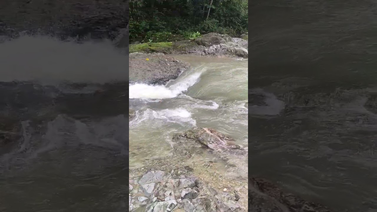
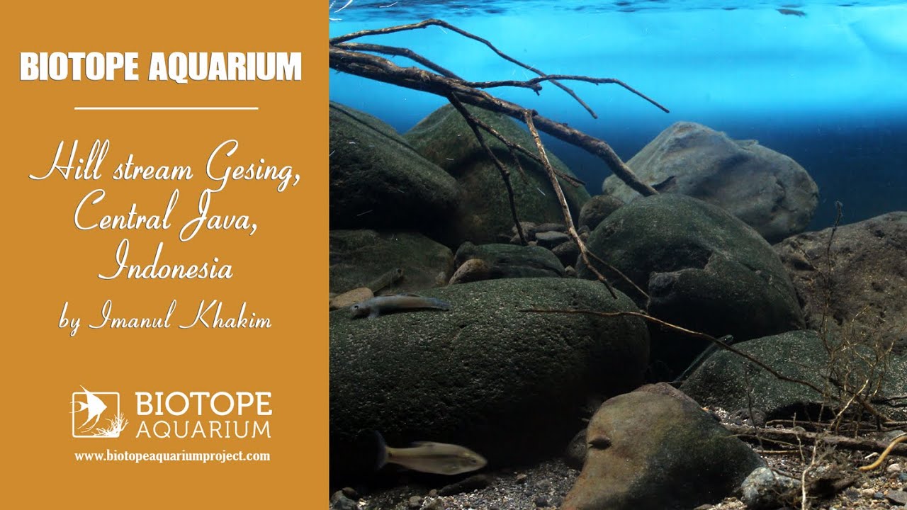
The Gesing stream is one of the tributaries of the Bogowonto River which flows from the mountainous National Park. The distance from the headwaters to the Bogowonto River is approximately 20km.
The Menoreh Mountain area is geomorphologically complex. Some of the rocks found include: sandstone, sandy marl, claystone, and limestone of the Middle Eocene; andesitic rocks, andesite breccias and tuff which are the result of Menoreh Volcano activity in the Oligocene; limestone and coral deposited in the Lower Miocene; and colluvium material deposited in the Quarter Age.
Therefore, this river is inhabited by the amphidromous goby.
- GPS
- -7.7363110, 110.0875320
- Geographical region
- Southeastern Asia
- Drainage Basin
- The western side of the mountains is incised
- River catchment
- Sungai Gesing
- Water body type
- Stream
- Water body name
- Sungai Bogowonto
- Water body part
- Channel
- Water body course
- Headwaters
- Water body: tributary of
- Hill streams
- Tributary name
- Sungai Gesing
Videos above and below water