bin
Thamirabarani River, Western Ghats, Tamil Nadu, India
India, Tamil Nadu, Tirunelveli
The River Thamirabarani – also known as Tamraparni or Porunai – originates from the Agastyarkoodam peak of Pothigai hills of the Western Ghats, above Papanasam in the Ambasamudram Taluk. It flows through Tirunelveli and Thoothukudi districts of the Tamil Nadu state of Southern India into the Gulf of Mannar. From the source to sea, the river is about 128km long and is the only perennial river in Tamil Nadu.
- Submitted by
- Kuntal Dey
- Approved by
- Sven Kullander, Friedrich Bitter & Sujoy Banerjee
- GPS
- 8.7086592, 77.3454742
- Geographical region
- Southern Asia
- Drainage Basin
- Gulf of Mannar
- River catchment
- Manimuthar River
- Water body type
- Stream
- Water body name
- Thamirabarani River
- Water body part
- Open water
- Water body course
- Headwaters
- Water body: tributary of
- Stream
- Tributary name
Videos above and below water
Warning: Undefined variable $fish_parent in /home/biotopea/public_html/wp-content/themes/bap/content-bin.php on line 55
Water Chemistry
Water information
- Water type
- fresh-water
- Water color
- Clear water
- Water transparency
- Medium
- Concentration of sediments
- Medium
- Water temperature
- 22-31 °C
- Water flow/curent
- Strong
Chemical parameters
- pH
- 7.8
- Conductivity
- GH
- 30 mg/l
- dGH
- KH
- dKH
- Dissolved Oxygen
- 80 %
Substrate in nature
- Sand
- White
- Pebble/Gravel
- Mixed
- Stone
- Grey
- Stone form
- Roundish
- Silt/Mud
- Black
- Leaves
- Few
- Driftwood
- Few
- Submerged terrestrial vegetation
- Yes
Aquatic Biotope
- Date of collecting
- January, 2009
- Collecting area
- Flooded area
- Water depth
- Air temperature
- 22 °C
- Sunlight
- Full sun
Environment
- Environment
- Human settlements
- Human settlements
- Dispersed
- Surrounding area
The Thamirabarani River flows over 120km, before entering the Indian Ocean, catering to the water needs of people.
This river has a unique ability to turn the leaves that fall into it reddish in color. The presence of copper in the river bed is the major reason for this happening. The river got its Tamil name, Tamraparni – “thamiram” in Tamil means copper and parni means leaf, for this ability.
The river descends from a height of 1.725m. Major towns in Tamil Nadu such as Thirunelveli, Sri Vaikundam, Ambasamudram and Thiruchendoor are all situated on the banks of this river. The river splits into five tributaries before meeting the Indian Ocean at Papanasam.
As Agasthyakoodam is home of several rare herbs, rivers that originate from this mountain is also believed to contain medicinal qualities.
- Underwater landscape
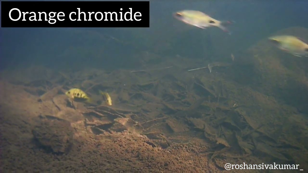
The river is a perrenial one in Tamil Nadu with the full of fishes. The commonly found variery of fishes found in the river are snakeheads, carps, loaches, eels, devario, Garra, Dawkinsia, Barilius, Osteobrama, Tor etc.
Under water, river basin is full of round/irregular shape bulk size stones with white-beige color sands and dark mud precipitation. The river bank is full of vegetation.
Fishlist:
- Dawkinsia tambraparniei (Cyprinidae)
- Dawkinsia filamentosa (Cyprinidae)
- Dawkinsia denisonii (Cyprinidae)
- Devario malabaricus (Cyprinidae)
- Haludaria fasciata (Cyprinidae)
- Opsarius ardens (Danionidae)
- Pseudetroplus maculatus (Cichlidae)
- Schistura denisoni (Nemacheilidae)
- Acantopsis dialuzona (Cobitidae)
- Channa diplogramma (Channidae)
- Channa maculata (Channidae)
Aquati plants list:
- Farmeria indica (Podostemaceae)
- Aponogeton satarensis (Aponogetonaceae)
- Hubbardia heptaneuron (Poaceae)
- Cryptocoryne cognata (Araceae)
- Threats to ecology
The Thamirabarani is of great importance to southern Tamil Nadu environmentally and historically. The river supports wildlife such as the Nilgiri marten, slender loris, lion-tailed macaque, white spotted bush frog, galaxy frog, Sri Lankan Atlas moth and the great hornbill. Being only perennial river in Tamil Nadu, the river water is used as drinking water as well as for agricultural purpose.
While the Thamirabarani landscape, in general, appears water-rich, it faced severe drought in 2016 despite the diverse water storage systems in place. Settlements have been on the rise, which has led to the shrinkage of agricultural land and water bodies.
In order to deal with this the district administration of Tirunelveli in Tamil Nadu along with Ashoka Trust for Research in Ecology and the Environment (ATREE) took the initiative which aims to restore the Social Ecological Systems of riverscape from head-waters to the estuary to enable conditions for native biodiversity to thrive and maintain and enhance multiple ecosystem services to local stakeholders.
Riparian zone
- Trees near the aquatic habitat
-
Many -
Comment by the expert
Sven Kullander: Not much is communicated on the biotope, but I would say that the fish and rocks express the biotope quite well.
Friedrich Bitter: The videos clearly show that the water has a lot of current. Perhaps it should have been mentioned which of the open water species also occur syntopically.
Sujoy Banerjee: There are specific research papers for Thamirabarani River which could have been referred to listing the full rich diversity of fishes from that region. Actual video footage of the biotope would have added to the research as the researcher mentions that the fishes are collected from the wild. The area mentioned in the GPS data is very lush and beautiful, and the river has very strong current there. Actual biotope pictures of the river, flora fauna would have enhanced the research quality. More could have been achieved with the subject which has such a rich collection of fish from that habitat. There are a number of Dawkinsia species originating in and around that geographical region, more research is required to identify the actual Dawkinsia species from that river other than the Dawkinsia tambraparniei.